
Data logging · Weather monitoring · Water
August 2026 in Europe: dry surface soil, low rivers and what to measure now
On 10 September, Copernicus published its August 2026 bulletins: exceptionally dry surface soils and river flows well below average across much of Europe. What those maps support deciding, and what they do not.
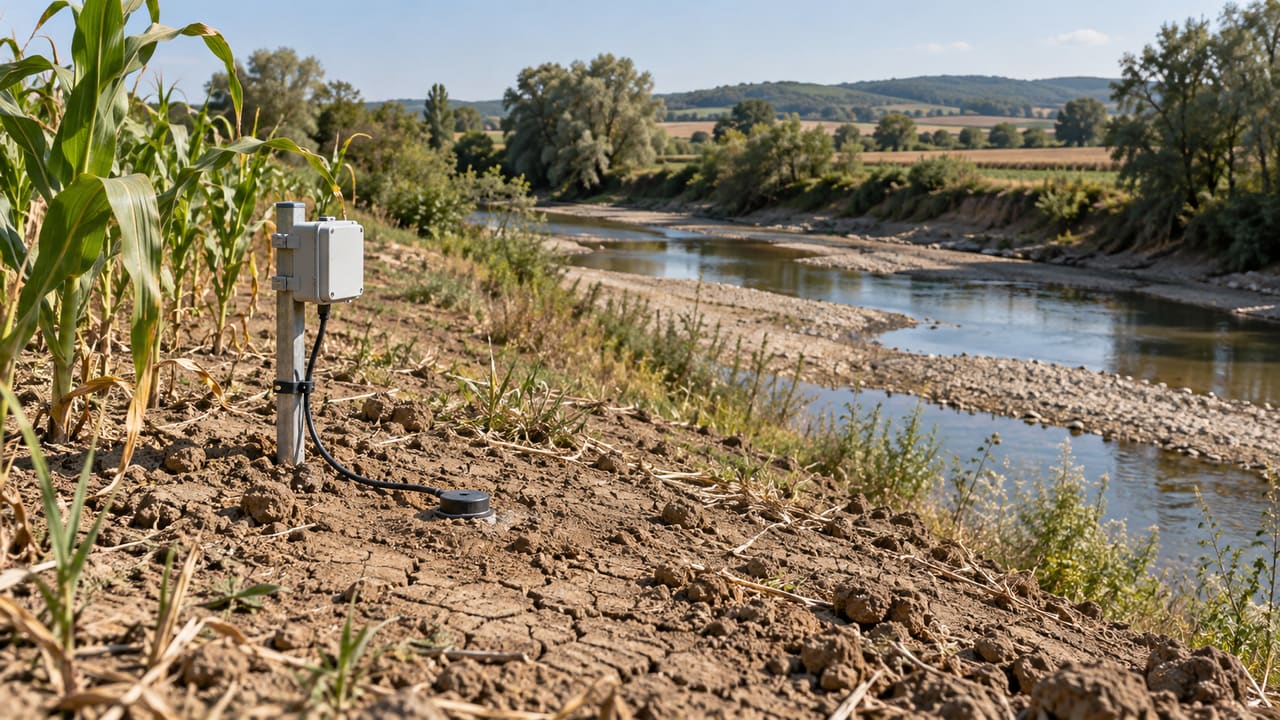
Anyone irrigating a field, running an abstraction point or watching a soil arrives in September with the same question: after a summer like this one, how much water is actually left where the measurement is taken? A European bulletin does not answer that, but it does mark out the ground on which the answer has to be found.
What was published, and when
On 10 September 2026 the Copernicus Climate Change Service (C3S) published its climate bulletins for August 2026 (accessed 13 September 2026, 17:30 CEST).
The surface air temperature bulletin puts the average over European land for August 2026 at 20.26°C, 1.10°C above the 1991-2020 average, the fourth warmest August in the ERA5 dataset. For the full summer, June to August, the average over European land was 1.17°C above 1991-2020, the third warmest summer in the series, and in the western European region it was the warmest on record for the season at 21.69°C, 2.54°C above 1991-2020. August anomalies were most marked across France, Italy, Bosnia and Herzegovina, Croatia, Hungary, Romania and much of the Balkans, generally by 3 to 5°C.
The hydrological bulletin published the same day adds the part that matters to anyone measuring water and soil. Parts of western Europe and large regions of central and eastern Europe were much drier than average in precipitation, surface soil moisture and relative humidity, and surface soils showed exceptionally low moisture throughout the dry areas, as a legacy of the preceding months. River flows well below average were widespread across Europe, with the largest deficits in parts of western Europe; the bulletin names, among others, the Rhine, the Danube, the Loire, the Po, the Vistula, the Elbe, the Seine, the Rhône, the Thames and the Oder. In the last third of the month a widespread shift to low pressure systems brought heavy rainfall in several places.
What those maps say, and what they do not
Three points change the reading.
The first is the reference period. August anomalies are computed against 1991-2020 averages, and river flow against 1992-2020. An anomaly is not an absolute value: change the baseline and the number changes with it.
The second is what is actually being measured when the wording is surface soil moisture. The hydrological bulletin attributes that field to ERA5 and ERA5-Land. ERA5 is a reanalysis that blends model forecasts with observations through data assimilation, on a grid of roughly 31 km; ERA5-Land is a replay of the land component of ERA5, forced by its meteorological fields and produced without data assimilation, on a grid of roughly 9 km. In the documentation for both, the soil layers are 0-7 cm, 7-28 cm, 28-100 cm and 100-289 cm. Surface moisture is the first layer: the top seven centimetres of a cell several kilometres across, not the profile where the roots of a particular crop sit. River flows in the same bulletin do not come from those datasets: the bulletin attributes them to EFAS.
The third is scale. A cell that size averages different slopes, soils and land uses. It is useful for placing a month in its European context and it does not replace a measurement taken at the point where someone decides to irrigate, to pump or to close a gate.
What to measure over the coming weeks
- Soil moisture at more than one depth, with the depths written into the record. Comparing a reading at 30 cm with a 0-7 cm map is not comparing like with like.
- A logging interval that captures both the response to each rainfall event and the drying between them. A single daily reading can hide both.
- The site's own series. Talking about an anomaly in one field requires a local baseline, not the European one.
- The usable range of a water level measuring point, for anyone watching a watercourse or a borehole, after a summer of low flows.
- The date and time of consultation for any bulletin used as context, because these products are updated.
What is still unknown
The bulletins describe August. They do not say what the rain at the end of the month left in the soil profile at a given site, nor do they anticipate autumn recharge. Nor do they turn a regional anomaly into an agronomic decision: that still depends on the crop, the soil and the measurement taken on site. And one month, however extreme, is not a trend; what supports talk of a trend is the long series.
References
- Copernicus Climate Change Service (2026). Copernicus: August was the world's joint hottest month on record, pushing global temperatures back above 1.5°C above pre-industrial levels. Link. Accessed 13/09/2026.
- Copernicus Climate Change Service (2026). Surface air temperature for August 2026. Link. Accessed 13/09/2026.
- Copernicus Climate Change Service (2026). Precipitation, relative humidity, soil moisture and river flow for August 2026. Link. Accessed 13/09/2026.
- ECMWF, Copernicus Knowledge Base (2026). ERA5-Land: data documentation. Link. Accessed 13/09/2026.
- ECMWF, Copernicus Knowledge Base (2026). ERA5: data documentation. Link. Accessed 13/09/2026.
Commercial selection by EIC Controls
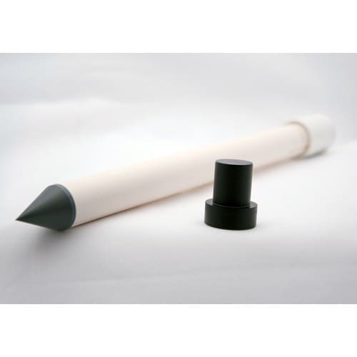
The Xtreem multi-profile soil moisture kit records soil water content at several levels on a single probe, with options of 3, 4 or 5 sensors, from 10 to 40 cm on the 0.4 m probes, down to 50 cm on the 0.5 m probe and down to 100 cm on the 1.0 m five-sensor probe, and a temperature sensor at each level. After an August with exceptionally dry surface soils, measuring at several depths is precisely what separates a context figure from an irrigation decision. Probe length and depths still have to be sized to the crop and the soil, along with the installation point and the download routine, which the datasheet describes over Bluetooth with an Android device.
Instruments for this application
DataFlow-Systems · EIC-OXLMPK
Xtreem Multi-Profile Soil Moisture Recording Kit
The Xtreem multi-profile soil moisture recording kit comes with everything you need to get started. There is no need to open the logger to get your data out as it wirelessly connects to your phone/tablet. With extended battery life there is even less need to…
Keep reading
Week in review, 14 to 18 September 2026: your own point, the satellite and the laboratory curve
Three articles on what makes a number measured at one point trustworthy, three European signals from the week with their sources, and what is due in the coming days.
Field calibration or laboratory curve: what one study measured with soil moisture sensors
A study published in May 2026 calibrated low-cost capacitive sensors in the laboratory and then moved them to real plots. The laboratory curve drifted in the field, and a single reference measurement on site recovered much of the accuracy.
Sentinel-3C is in orbit: what a satellite measures and what your station still measures
On 15 September 2026 the European Union launched Copernicus Sentinel-3C. What it observes from 800 km, why land surface temperature is not air temperature, and what to log at your own point.