
Week of 2 to 8 November 2026: possible frosts inland in the north and rain on the Mediterranean. What to measure and with what care
AEMET expects a week that will probably be warmer than normal in southern Spain, with possible night frosts inland in the north and the heaviest rain in the Mediterranean area and the Balearics. Four official signals, including the new regionalised seasonal forecasts, and what to measure with each.
Checked: 2 November 2026, 05:37 to 05:55 Madrid time (04:37 to 04:55 UTC).
This week the same data logger asks for different things depending on where it is: in inland areas of northern Spain, not missing the night-time minimum; in the Mediterranean area and the Balearic Islands, having the rain gauge ready; in the west of the Iberian Peninsula, preparing for the following week. Here are four signals from the official services and, for each one, what to measure and with what care.
1. Probably warmer than normal in the south, possible night frosts inland in the north
The AEMET outlook published on 30 October says that the week of 2 to 8 November will probably be warmer than normal in southern mainland Spain and the Canary Islands. In the north and the Balearic Islands, temperatures will be more typical of the season, with a colder feel and even night frosts in inland areas. Source: AEMET. For mainland Portugal, the IPMA monthly outlook bulletin sums up this week's temperature as “valores acima do normal no Centro e Sul” (above-normal values in the Centre and South).
What to measure, and with what care. The minimum on a frosty night is short-lived and a long logging interval can miss it: shorten the interval or, if the logger allows it, also store the minimum for each interval. Review the alarm thresholds you left configured in the summer. And the temperature at the height of the radiation shield is not that of a low-growing crop: our guide to frost in the field explains at what height to place the sensor.
2. Heaviest rain in the Mediterranean area and the Balearics, less than usual in the far north
According to the same outlook, the heaviest precipitation will fall over the Mediterranean area of mainland Spain and the Balearic Islands, while in the far north of the Peninsula rainfall will be lower than usual for the time of year. Source: AEMET.
What to measure, and with what care. Before the rain, clear leaves and debris from the rain gauge funnel and check that the logger stores the time of each tip, so that intensity can be worked out afterwards (more detail in our tipping bucket rain gauge guide). Check AEMET's current warnings and do not go out to the site while a warning is active.
3. 9 to 15 November: more uncertainty and rain mainly in the west
AEMET warns that uncertainty is greater for the week of 9 to 15 November. The most likely outcome is a period with temperatures above normal for the time of year, and precipitation would affect much of the Peninsula, especially the western half, and the Canary Islands. The post itself warns that this outlook could change considerably in future updates. Source: AEMET.
What to measure, and with what care. Use this week to prepare for the next: download the data and check batteries, memory and the logger clock (last week's edition explains how, after the clock change). If you measure soil moisture in the west, record a baseline reading before the rain: you will then see how much each depth responded.
4. Regionalised seasonal forecasts for Spain
On 30 October, AEMET announced that its State Climate Services Platform now includes regionalised seasonal forecasts, produced with a new downscaling method based on advanced machine learning techniques: convolutional neural networks that regionalise the forecasts of the Copernicus (C3S) multi-model system. The work is funded by Copernicus C3S and carried out by CSIC and AEMET; the forecasts will be added mainly to the drought and fire weather danger services. Source: AEMET, with Copernicus data.
What to measure, and with what care. More spatial detail does not turn a seasonal forecast into a forecast for your site: it still describes an area and several months. To know whether “warmer than normal” holds on your plot, you need your own series, continuous and with no changes to the installation. Before using these forecasts in a decision, read the information on their validation that the Platform provides.
Checklist
- Logging interval, alarm thresholds, height and shield of the temperature sensor reviewed.
- Rain gauge clean and storing the time of each tip.
- Data downloaded; batteries, memory and clock checked before 9 November.
- Current warnings checked before going out to the site.
Limits
- This is not an EIC Controls forecast: the forecast belongs to AEMET and IPMA, checked at the time given at the top, and it may change.
- The latest European Drought Observatory (Copernicus) analysis, carried out on 19 October, uses data from late September: it does not describe this week.
- For safety decisions, the official warnings and civil protection advice apply.
References
- AEMET (2026). Predicción para las semanas del 2 al 22 de noviembre de 2026. aemetblog, 30/10/2026. https://aemetblog.es/2026/10/30/prediccion-para-las-semanas-del-2-al-22-de-noviembre-de-2026/ (accessed 02/11/2026, 05:37 Madrid time).
- AEMET (2026). Nuevas predicciones estacionales de alta resolución mediante técnicas de aprendizaje profundo. 30/10/2026. https://www.aemet.es/es/noticias/2026/10/mejora_predicciones_estacionales (accessed 02/11/2026, 05:40 Madrid time).
- IPMA (2026). Boletim Previsão Mensal (Continente), reference date 28/10/2026. https://www.ipma.pt/opencms/pt/otempo/prev.longo.prazo/mensal/docs/bpm_0211.2911_2026.pdf (accessed 02/11/2026, 05:55 Madrid time).
- Joint Research Centre, Copernicus Emergency Management Service (2026). Current drought situation in Europe, analysis of 19/10/2026. https://joint-research-centre.ec.europa.eu/european-and-global-drought-observatories/current-drought-situation-europe_en (accessed 02/11/2026, 05:39 Madrid time).
- AEMET. Avisos meteorológicos. https://www.aemet.es/es/eltiempo/prediccion/avisos (accessed 02/11/2026, 05:41 Madrid time).
Commercial selection by EIC Controls
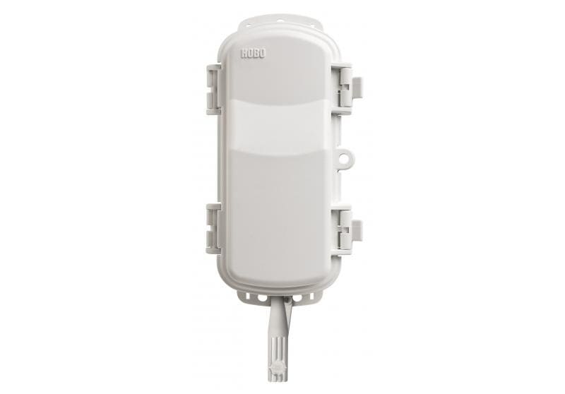
To follow minimum temperatures on cold nights without having to go out to the site, the HOBOnet wireless temperature and humidity sensor (RXW-THC-B-868) measures temperature and relative humidity, also provides dew point and, according to its datasheet, has a stated accuracy of ±0.25 °C between -40 and 0 °C. It sends data by 868 MHz radio to an RX station, the data are viewed in HOBOlink, Onset's cloud platform, and it runs on two lithium AA batteries. The RX station that receives the data, the height of the sensor and its mounting still need to be specified.
Instruments for this application
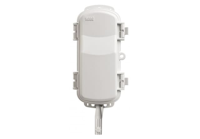
LI-COR (HOBO, InTemp, LI-COR) · RXW-THC-B-868
HOBOnet Wireless Temp/RH Sensor
The HOBOnet Wireless Temperature and Relative Humidity Sensor provides a cost-effective and scalable solution for web-enabled monitoring of air temperature and humidity. HOBOnet Wireless Sensors communicate data directly to the RX Station or pass data through…
Keep reading
Changing site or instrument without breaking the record: lessons from the Montseny summit series (1950-2025)
On 31 October 2026 AEMET and the SMC published an analysis of the Montseny summit series, which joins two sites and fills the gaps from 2001 to 2010. What it teaches anyone planning to move a station or change a sensor.
The Commission proposes a common warming trajectory for climate risk assessments: what to measure at your site to read it
On 27 October 2026 the European Commission proposed the European Climate Resilience Law, with a reference global warming trajectory and periodic risk assessments. What that information describes, what it does not describe about your site and what is worth recording.
Week of 26 October to 1 November 2026: settled weather, little rain and the clocks just changed. What to measure and how carefully
AEMET expects a settled week with temperatures high for the time of year and scant rain, and more uncertainty from 2 November. Four signals and what to check in your series, starting with the time: on Sunday 25 October, official time in mainland Spain and the Balearic Islands went from UTC+2 to UTC+1.